S. S. M Jahir Jahan Khan Miru
Urban Planner & AI Transport Researcher
Bridging intelligent mobility, active transportation equity, and sustainable transit planning using computer vision (YOLO, PyTorch), transport microsimulation (PTV Vissim, SUMO), and advanced spatial analytics.
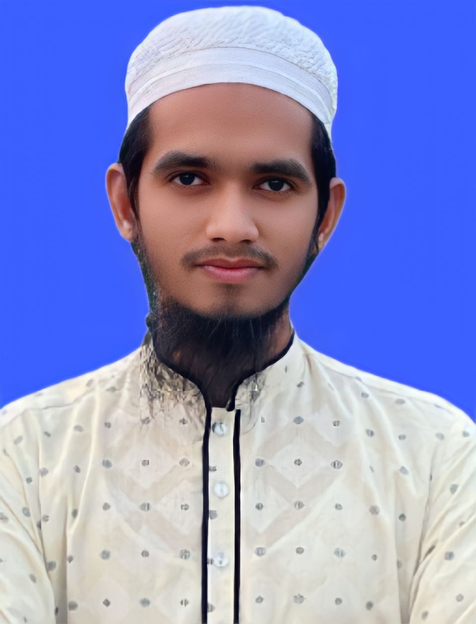
About Me
Urban and Regional Planning graduate from Bangladesh University of Engineering and Technology (BUET) with a rigorous foundation in spatial analytics, transport microsimulation, and applied AI, currently seeking PhD opportunities in Transportation Systems & Engineering.
I bring hands-on research and technical experience in modeling pedestrian travel behavior, transit accessibility, and built-environment impacts using field-based surveys, network analysis (QNEAT3), and statistical/machine learning methods (MLR, GBDT).
My expertise is complemented by practical experience in automated traffic monitoring using deep learning (YOLO, PyTorch), UAV photogrammetry (Pix4D, OpenDroneMap), and microsimulation platforms (PTV Vissim, SUMO). I am dedicated to pursuing doctoral research bridging intelligent mobility, active transportation equity, and sustainable transit planning.
Professional Experience
Urban Planner & CEO
PLANSCULPT PRIVATE CONSULTANTS
- Completed 20+ comprehensive Traffic Impact Assessments (TIAs) utilizing computer vision and predictive modeling for major civil development projects.
- Developed custom AI pipelines (Ultralytics YOLO, OpenCV) to extract vehicle classifications and movement data from video sensors, ensuring rigorous data quality control.
- Conducted 16-hour multi-modal traffic data surveys and translated empirical sensor evidence into actionable Level of Service (LOS), delay, and queue length analyses via microsimulation (PTV Vissim, SUMO).
- Completed drone survey of 302 schools, 3 resorts, 1 Park, and 27 private land developments; captured drone images, stitched, and processed spatial data with GIS software.
Assistant Urban Planner - Photogrammetry
Sheltech Consultants (Pvt.) Ltd.
- Managed sensor data collection and GIS integration for the feasibility and master planning of 25 towns and 16 Paurashavas (IUGIP Project).
- Processed complex photogrammetric data and integrated drone-based imagery with spatial databases to model urban infrastructure accurately.
- Synthesized high-resolution orthophotos and digital elevation models (DEMs) from UAV imagery for over 400 sq km of urban area, accelerating spatial analysis workflows by 60% and supporting evidence-based decision making using Pix4D, ArcGIS, and CityEngine.
Urban Planner
Topbright (Pvt.) Ltd
- Directed the spatial data gathering and Master Plan development for the Central Human Resource Development Center (CHRDC).
- Streamlined permit approval workflows by standardizing 12+ zoning compliance documents for the CHRDC site plan review, reducing submission processing time by 30% for municipal stakeholders.
- Conducted stakeholder workshops with 8 municipal officials and planners to gather requirements and align urban development priorities, improving consensus-building efficiency by 40%.
GIS Analyst
TORK INC
- Executed large-scale spatial data integration, mapping, and geospatial analysis to support urban infrastructure projects.
- Digitized and processed 17 sq km of aerial drone imagery, enabling high-resolution spatial analysis for two major urban infrastructure projects within strict project deadlines.
- Utilized QGIS and ArcGIS Desktop to assess the condition and network integration of institutional infrastructures, delivering actionable reports for major projects.
Featured Research & Projects
Applied AI systems, transport microsimulations, and academic spatial analytics research.
AI-Powered Automated Vehicle Counting & Traffic Survey System
Plansculpt Private ConsultantsBuilt a high-performance desktop application integrating PyTorch and TensorRT pipelines for automated, bi-directional vehicle detection and tracking across 18 distinct traffic classes tailored to highly heterogeneous mixed-traffic conditions.
- Implemented custom directional polygon zones with trajectory logic to accurately capture turning movements, U-turns, and directional flow rates directly from video feeds.
- Automated export modules generating classified count summaries and time-interval slicing directly to Excel and CSV formats.
Predictive Modeling of Traffic Impacts using AI Agents
Plansculpt Private ConsultantsEngineered an AI-agent-based simulation framework to accurately predict and evaluate the impact of newly generated traffic on existing urban road networks and intersection nodes.
- Calibrated predictive algorithms strictly conforming to the Traffic Impact Assessment Guidelines 2025 established by the Dhaka Transport Coordination Authority (DTCA).
- Integrated diverse datasets to simulate mixed-traffic operations and formulated actionable data-driven mitigation strategies.
Research Experience & Studies
MRT Line-6 Pedestrian Catchment & Walking Distance Study
Collected 2,900 passenger surveys along with DAP-based land-use, road, and footpath data. Delineated network catchments via QNEAT3 (QGIS) and applied Multiple Linear Regression (MLR) and Gradient Boosted Decision Trees (GBDT) to analyze built-environment factors influencing access/egress walking distances.
Assessing Highway Condition during Festivals in Bangladesh
Conducted multi-modal data integration to evaluate highway infrastructure stress and performance degradation during peak festival migration periods. Analyzed massive traffic volume anomalies and queue lengths using statistical tools to propose scalable predictive interventions.
Urban Solid Waste Disposal Site Suitability (Narayanganj)
Utilized Weighted Overlay Analysis and GIS-based Multi-Criteria Decision Making (MCDM) to identify optimal landfill and waste management locations, delivering comprehensive thematic maps and suitability reports for municipal authorities.
Accessibility and Safety Audit in BUET Campus
Captured and synthesized spatial and observational field data to assess structural safety and pedestrian accessibility across BUET campus. Mapped high-risk zones using quantitative safety indices and formulated targeted civil engineering modifications.
IUGIP Master Planning for 25 Towns & 16 Paurashavas
Conducted sensor data collection, UAV photogrammetric reconstruction (400+ sq km), and spatial database integration under Sheltech Consultants to model infrastructure and drive data-backed master plan policies.
Central Human Resource Development Center (CHRDC) Master Plan
Directed spatial data gathering, standardized 12+ zoning compliance documents, and facilitated stakeholder consensus with municipal officials under Topbright (Pvt.) Ltd.
Technical Skills & Toolsets
Comprehensive expertise spanning transport modelling, deep learning, geospatial analysis, and field sensing technologies.
Transport Modelling & Simulation
AI & Machine Learning
GIS & Spatial Analysis
Programming & Data Science
Sensor & Field Technology
3D Modeling & Infrastructure
Education & Certifications
Bachelor of Urban and Regional Planning (BURP)
Bangladesh University of Engineering and Technology (BUET)
Concentrations in Transportation Systems Planning, Traffic Microsimulation, Computer Vision Applications in Infrastructure, and Geospatial Analytics.
Higher Secondary School Certificate (Science)
Notre Dame College, Dhaka
Awarded Government Scholarship for exceptional academic excellence.
Secondary School Certificate (Science)
Shamsul Hoque Khan School and College, Dhaka
Certifications & Training
- Deep Learning Onramp MathWorks • 2025
- Generative AI Leader Coursera • 2025
- Foundations of Project Management Coursera • 2024
- Google Cybersecurity Certification Coursera • 2023
- Fundamental of GIS Coursera • 2022
Involvements & Awards
Senior Rover Mate & President
BUET Rover Scout Group, Dhaka
Led campus-wide and regional social services, disaster response coordination, youth leadership programs, and event management representing BUET.
President's Scout Award & Community Development Award
Shamsul Hoque Khan School Scout Group, Dhaka
Conferred the highest national scouting honor (President's Scout Award) for exemplary character, community service projects, and youth leadership.
Get In Touch
I am actively seeking Doctoral / PhD research opportunities bridging intelligent mobility, active transportation equity, and sustainable transit planning. Open to research collaborations, consulting, and industry inquiries.